Malaysia Airlines Flight 370 (MH370) is one of the biggest mysteries in airplane history. On March 8, 2014, this passenger plane went missing during its flight from Kuala Lumpur to Beijing. Governments and experts worked very hard to find it, but no one knows exactly where the plane is. Over time, people on the internet used tools like Google Maps to try and solve the mystery. People hoped that online maps and teamwork could help find new clues.
This article talks about how MH370 and Google Maps are connected, how technology helped in the search, and the problems people faced while searching.
Background on MH370
Malaysia Airlines Flight 370 had 239 people on board. This included passengers and crew members. The plane left Kuala Lumpur International Airport at 12:41 a.m. local time. It was supposed to reach Beijing at 6:30 a.m., but contact with the plane was lost less than an hour after it took off. The plane’s transponder, which shows its location, stopped working, and the plane flew off its planned route.
Experts from many countries searched for the plane for years, but they could not find clear evidence of what happened. Some pieces of debris, believed to be from the plane, were found on beaches in the Indian Ocean. However, the main wreckage of the plane has not been found.
The Role of Technology in the Search
Technology played a big role in the search for MH370. Satellites, sonar devices, and underwater robots were used to search the Indian Ocean. Experts also studied data from a satellite company called Inmarsat. This company tracked signals sent from the plane. The data gave an idea of where the plane might have gone, but many questions remained unanswered.
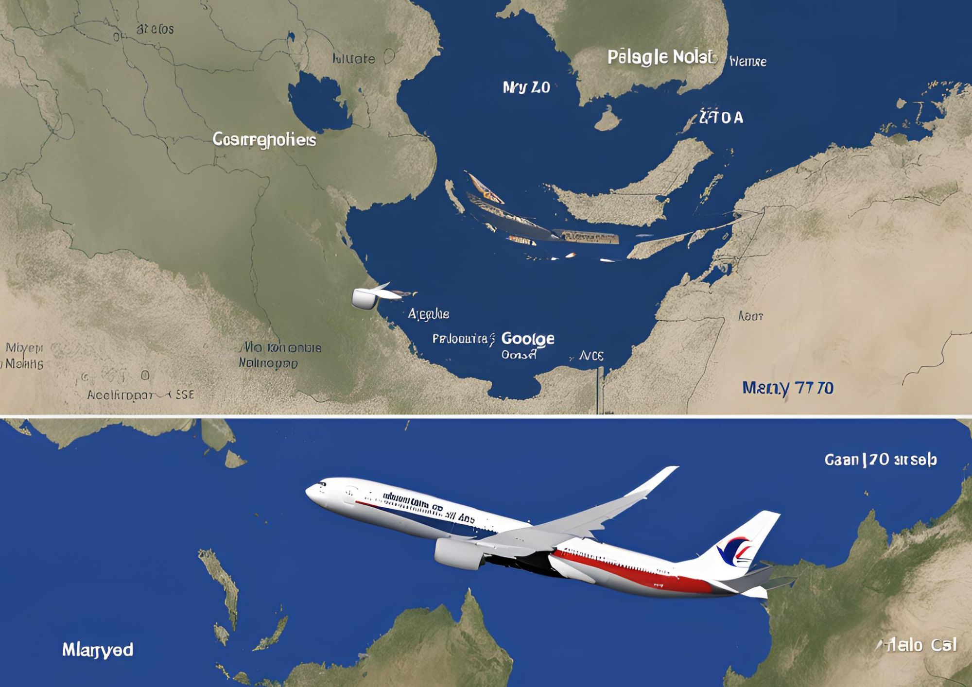
While experts searched, people around the world wanted to help. Google Maps and other online tools became important for these people. Many ordinary people looked at satellite images, hoping to see something the experts missed.
Google Maps and Crowd-Sourced Efforts
Google Maps is an online tool that shows maps and satellite images of the Earth. Many people used it to join the search for MH370. Websites like Tomnod, which lets people study satellite images together, asked users to look at specific parts of the ocean for anything unusual.
Millions of people participated in this effort. They zoomed in on satellite images to look for objects that could be pieces of the plane or oil spills. The idea was that with so many people searching, someone might find something important.
In 2014, a user claimed to see what looked like airplane wreckage on Google Maps in a jungle in Cambodia. This got a lot of attention, but after checking, experts said it was not related to MH370.
Interesting Theories Linked to Google Maps
Some people who used Google Maps thought they found clues about MH370. Even though most of these ideas were proven wrong, they showed how determined people were to solve the mystery.
- Cambodian Jungle Theory: A person said they saw the outline of an airplane in a thick forest in Cambodia. Many people were excited, but experts later said it was probably just a normal airplane caught in an older satellite image.
- Ocean Debris Claims: Some people found shapes in the Indian Ocean that looked like parts of a plane. Most of these turned out to be natural objects or trash.
- Shadow of the Plane: Some people said they saw the shadow of MH370 on the water. These ideas were checked, but no solid evidence was found.
These theories kept people interested, but they also showed how hard it is to rely on satellite images to search such a large area.
My Insight on Using Technology for Searches
I enjoy using Google Maps to explore places, so I understand why people use it to solve mysteries. I have spent hours looking at satellite images to find places or map new areas. It is amazing to see so much detail in one tool.
Helping find MH370 with these tools feels inspiring. It shows how technology can bring people together for a good cause. But it also shows that understanding satellite images is not easy. Something that looks like debris to one person might just be a shadow or a wave.
Challenges in the Search for MH370
The search for MH370 was very hard, both for experts and people using Google Maps. There were many problems:
- Huge Ocean Area: The Indian Ocean is very big and not fully explored. Looking for small pieces of the plane in such a large area is extremely difficult, like finding a needle in a haystack.
- Old Images: Google Maps shows satellite images, but they are not always updated quickly. Some images might be months or years old, which makes it harder to search for recent events.
- False Clues: People often see things that are not really there. For example, shadows, waves, or natural objects can look like debris from a plane.
- Emotional Pain: The families of people on MH370 were deeply affected by its disappearance. False clues gave them hope, but those hopes were later crushed when the clues turned out to be wrong.
The Lasting Impact of the Mystery
The mystery of MH370 has stayed in people’s minds. It has shown how people can use technology in creative ways and work together during hard times. Even though Google Maps and crowd-sourced efforts did not solve the mystery, they showed how people from all over the world could unite.
People still hope that one day, the truth about MH370 will be found. Until that happens, this story reminds us how curiosity and technology play an important role in our lives.